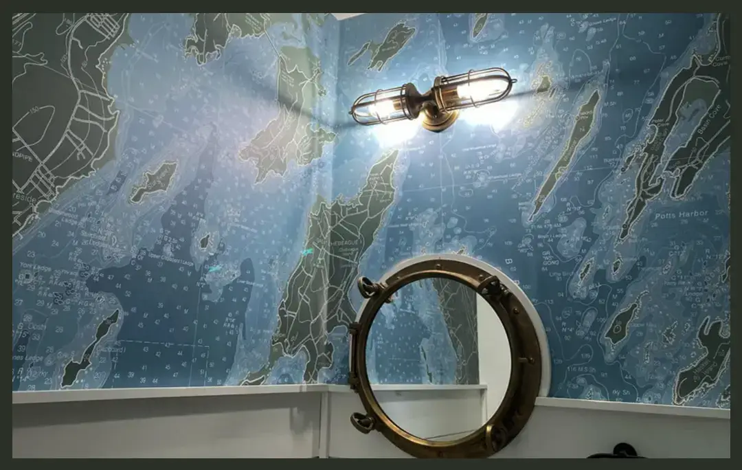
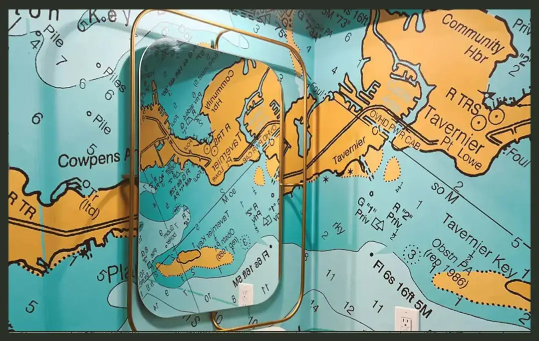
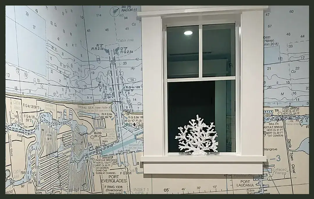
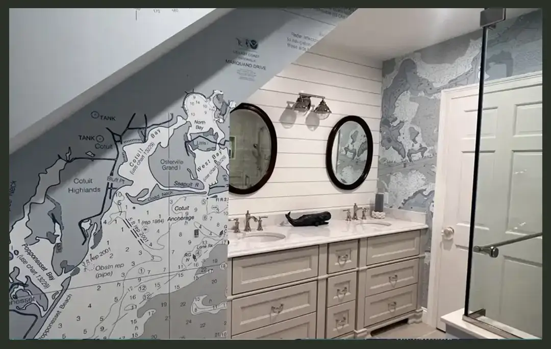
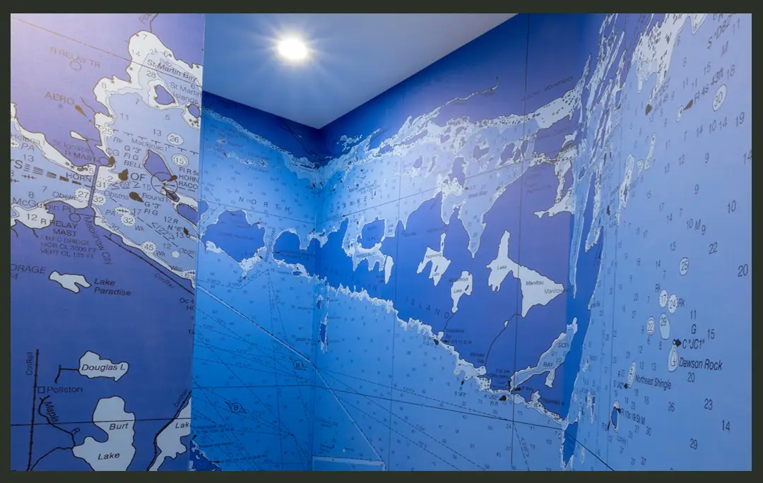
Nautical Chart Wallpaper
Nautical Map Wallpaper
Ocean Chart Wall Mural
Ocean Map Wallpaper
One Pelican is the industry leader in large format nautical chart and map wallpaper. We have been creating artwork from nautical charts for display and wallpaper and hanging displays since 1999.We are the leading supplier of ocean map wallpaper in the US. We have state of the art large format printing equipment standing ready to create you beautiful wallpaper form a nautical chart or map.
Full sized, full detail navigational charts are scanned using a high resolution Cruse digital capture scanner which can resolve to 1000 DPI.
This creates a large digital file which is then processed with imaging software to convert the raster (photographic) data from the scan into vector data.
Once the file is converted into vector data, layers can be created and separated. Once the file is in layers, resolution filters are applied that allow each layer to be edited for content and color.
We have been printing and displaying custom nautical charts and map wallpaper since 1999. All aspects of your project are done 100% by us in house. We don't send anything out to "others" to be completed. We have 4 state of the art large format eco solvent printers and 20 years of experience in large format production. Experience matters. Large format Ocean Chart wallpaper. is ready to ship